
Norfolk Trails has waymarked several new walks as part of the establishment of the Ketts Country Long Distance Trail. This includes a 3.6 mile circular walk which takes in Eaton, Keswick and Cringleford.
Further details about the Ketts Country Long Distance trail and a link to the walks can be found on the Norfolk County Council website at: Kett’s Country (Norwich to Wymondham) – Norfolk County Council
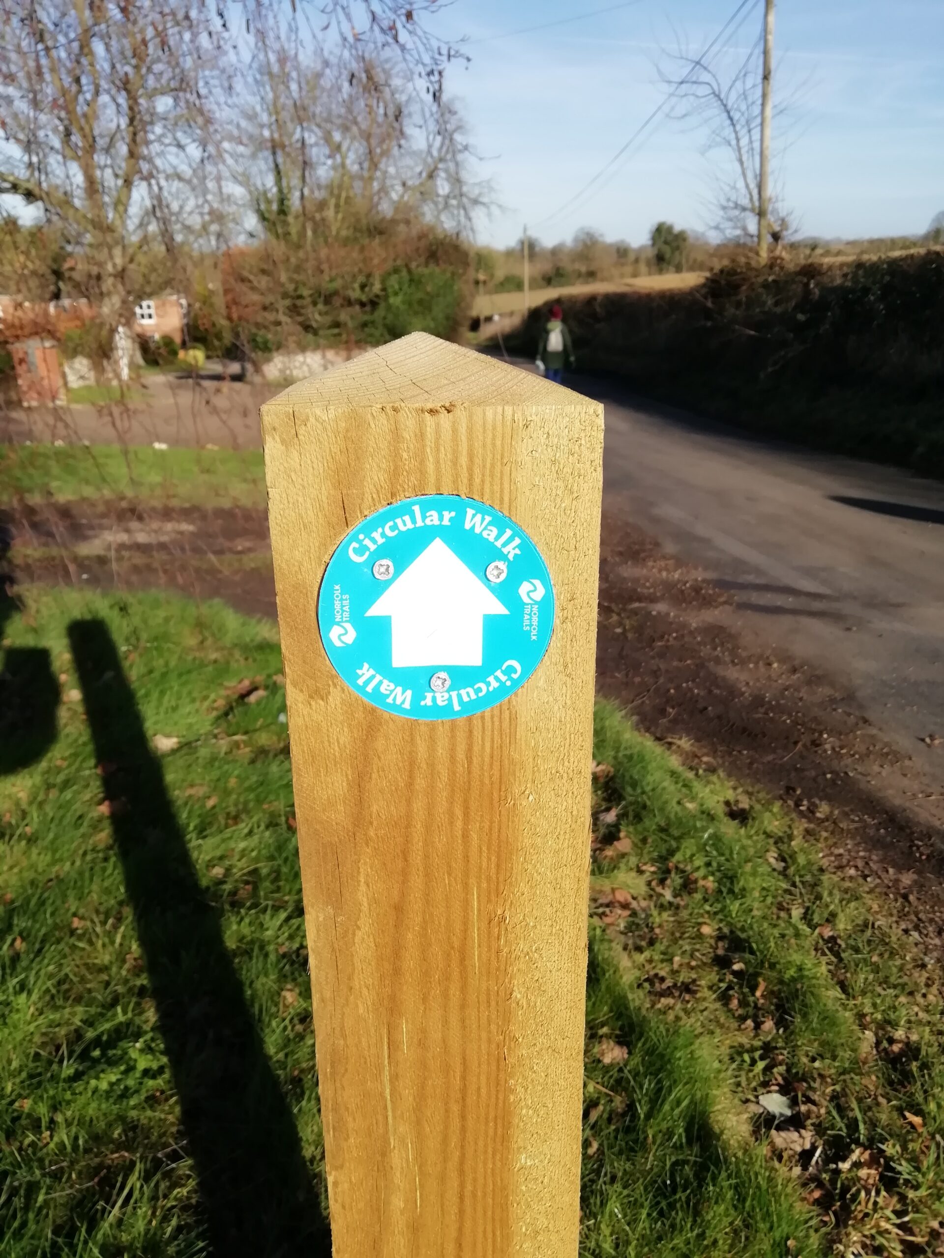
Cringleford’s River Crossings Trail passes along Church Lane through Eaton and is waymarked with finger posts and blue Circular walk signs. Both PDF and GPX versions are available to download from Norfolk Trails.
Here is the PDF Version to download:
The walk follows Church Lane, passes the Eaton Vale Activity Centre through to the railway crossing to Eaton Common and then to Keswick Mill and up to Keswick Hall. It then follows the track to the stables where you turn right into Beech Walk to Low Road, Keswick and left through to Cringleford and over the bridge back to Eaton. A nicer route is to cut through Mark Lemon Close on Keswick Road and into Cringleford Recreation Ground. A signed footpath on the opposite side of the ground between the hall and the storage containers leads back to The Loke and Cringleford Bridge. There is also a footpath through Eaton Meadow which is the wild area between the river and Waitrose car park, accessed via the gate on Eaton Street and leading to the path between the car park and St Andrew’s Church. Here is a PDF with the alternative route which we take:
Highlights of the route include the bridge at Keswick Mill and Cringleford Bridge. Other things to look out for along the route are the Lynx and other animals at Berties Barn, just past Keswick Hall, and the Emu at Railway Farm on Low Road just before the rail crossing – which may come to say hello. As you enter Beech Walk by the stables there is a large pit marked on maps as Paradise Hole – I wonder how it got its name.
Chris Stebbing